-40%
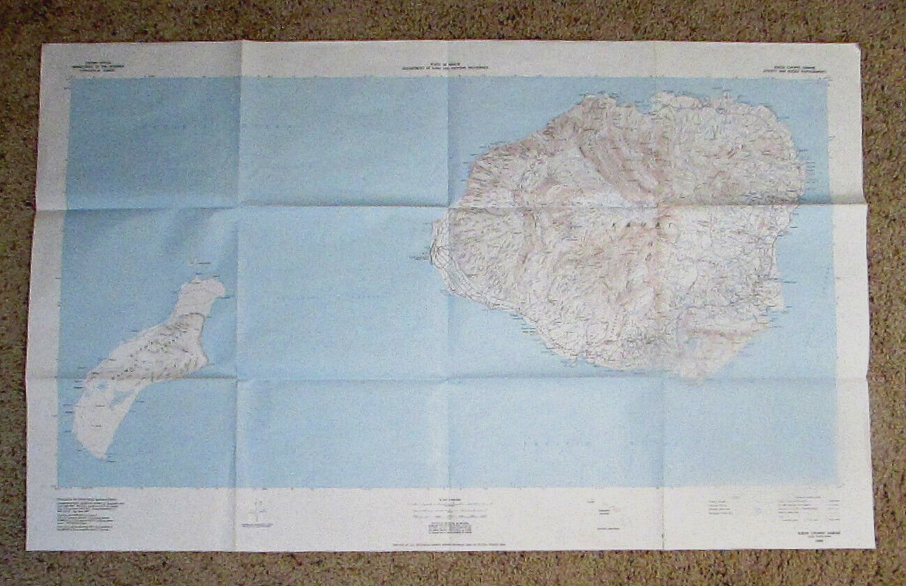
Vintage USGS Topographical Topo Map KAUAI and NIIHAU HAWAII Oversize Map
$ 6.33
- Description
- Size Guide
Description
ITEM:KAUAI COUNTY HAWAII
Shows KAUAI and NIIHAU
1:100000 scale, 40m contour lines
shows Na Pali coast
Oversize map 27” tall x 44” wide
Map edited 1980
USGS Topographical Map
I WILL COMBINE SHIPPING FOR MULTIPLE MAPS
Sometimes eBay erroneously says I won’t – but I do.
CONDITION:
VERY GOOD PLUS
No writing
No tears
No damage
Light edge wear
Map has been stored folded
please see the photos of the actual item to assess its condition.
We do our very best to describe the item accurately. Everything comes from a nonsmoking, non-moldy home. We work hard to give you all the details - however we are human and can make mistakes. If we miss something it is not intentional, so please contact us and allow us to make it right if possible. We have excellent eBay feedback. We strive to keep it that way and have happy customers.
FEEDBACK:
Our goal is to earn positive feedback on every item that we sell. If you’re happy with your purchase, please take the time to leave positive feedback.
If you have any issues with your purchase, please contact us directly through eBay messaging to resolve the issue
so that we can earn your positive feedback.
We will be pleased to reciprocate with positive feedback for you. Thank you for your business!
