-40%
Maryland USGS Maps Indexes - Aeromagnetic County Maps - Baltimore City
$ 2.68
- Description
- Size Guide
Description
Maryland USGS Maps and IndexesMaryland, Delaware, and District of Columbia Index to Topographic and other Map Coverage
Geologic Map Index of Maryland, Delaware and District of Columbia
Index to Topographic Maps of Maryland, Delaware, and District of Columbia
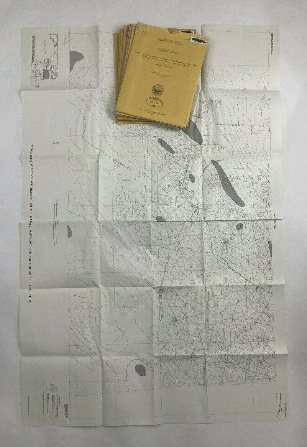
Natural Gamma Aeroradioactivity of the District of Columbia and Parts of Maryland, Viriginia, and West Virginia
Aeromagnetic Map of Bel Air and Vicinity, Harford Baltimore, and Cecil Counties, Maryland
Natural Gamma Aeroradioactivity Map of Bel Air and Vicinity Harford, Baltimore and Cecil Counties, Maryland
Natural Gamma Aeroradioactivity Map of the Seneca and Part of the Sterling Quadrangles Montgomery County, Maryland, and Loudoun and Fairfax Counties, Viriginia
Natural Gamma Aeroradioactivity Map ofthe Rockville Quadrangle, Montgomery County, Maryland, and Fairfax County, Virginia
Natural Gamma Aeroradioactivity Map of the Gaithersburg and Part of the Sandy Spring Quadrangles Montgomery County, Maryland
Natural Gamma Aeroradioactivity Map of the Germantown and Part of the Poolesville Quadrangles, Montgomery and Frederick Counties, Maryland
Aeromagnetic Map of Baltimore County and Baltimore City, Maryland
Simple Bouguer Gravity Map of Baltimore County and Baltimore City, Maryland
Aeromagnetic Map of Part of Cecil County, Maryland, and Parts of Adjacent Counties in Maryland and Delaware
Aeromagnetic Map of Part of Kent County, Maryland, and Parts of Adjacent Counties in Maryland and Delaware
Aeromagnetic Map of Cumberland and Vicinity, Maryland and Adjacent States
Aeromagnetic Map of Eastern Dorchester County, Maryland, and Parts of Adjacent Counties
Aeromagnetic Map of Western Dorchester County, Maryland and Parts of Adjacent Counties
Aeromagnetic map of Southern Queen Annes County, Maryland, and parts of Adjacent Counties
