-40%
ANTIQUE ORIGINAL NORTH AMERICA MAP 1913 RARE -W&AK JOHNSTON- NOW 30% OFF
$ 89.76
- Description
- Size Guide
Description
SPECIAL HOLIDAY PRICING - NOW 30% OFFWAS 5...NOW 0
BUY IT NOW BEFORE ITS GONE!!
------------------------------------------------------
***Extremely Rare & Impossible-to-Find Antique Original Full-Color Map***
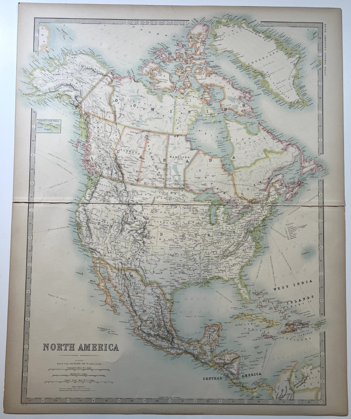
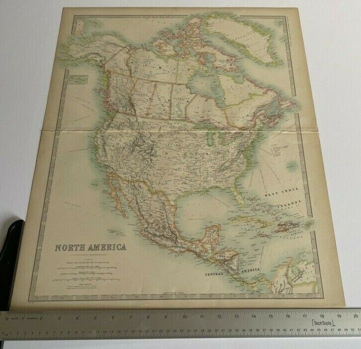
RARE VINTAGE OVERSIZE MAP OF NORTH AMERICA
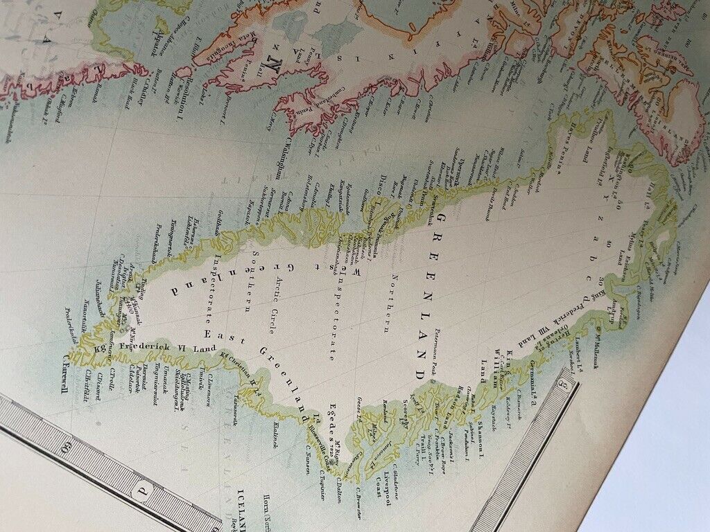
*United States-Canada-Greenland-Alaska-Central America*
*Original 19.5" x 24" Full-Color Map -- Authentic 1913 Depiction*
W. & A.K. JOHNSTON -- CARTOGRAPHERS
JOHNSTON'S GENERAL ATLAS 1913
PUBLISHED 1913
IN GOOD VINTAGE CONDITION
*** NOT A REPRODUCTION ***
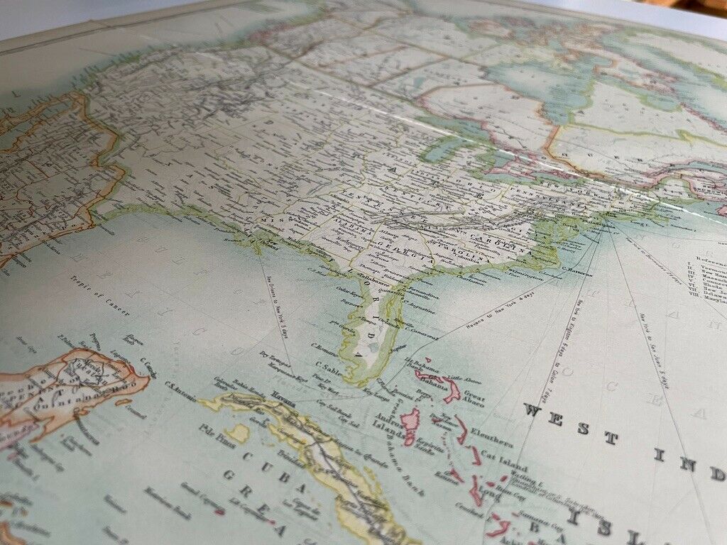
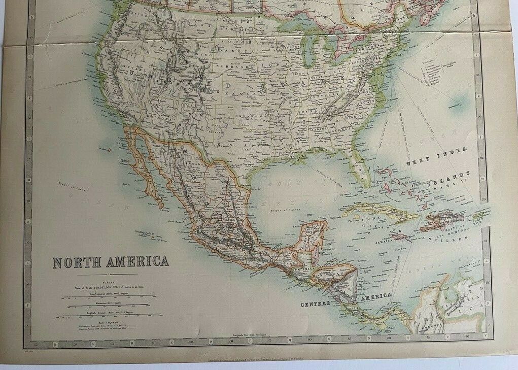
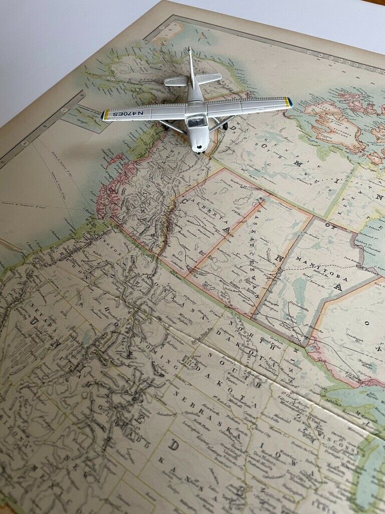
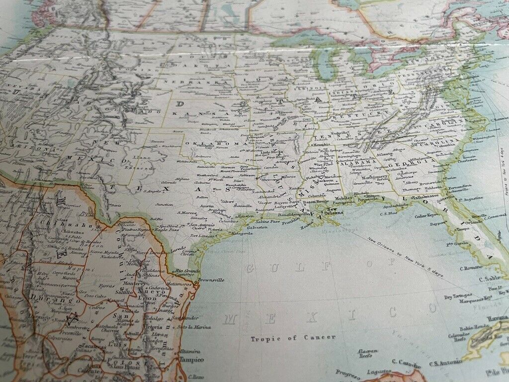
This is an antique original, authentic full-color map of North America published in 1913. The impressive oversize map measures 19.5 inches by 24 inches, retains its original vibrant colors. Created by celebrated cartographers W. & A.K. Johnston, the 109 year old map is in good vintage condition, showing some wear consistent with its age. A visually stunning, one-of-a-kind period map, that's virtually impossible to find anywhere else. An investment-grade acquisition that is an ideal addition to any cartographic collection. All photos taken without flash.
The Story Behind the Map:
In 1913, William Howard Taft was President of the United States. The 16th Amendment to the U.S. Constitution was ratified authorizing the Federal government to impose and collect income taxes, and New York City's Grand Central Terminal reopened as the world's largest train station.
Buy this map now to own your piece of history!
----------
W. & A.K. Johnstone --Rare Oversize Vintage North America Map 1913-- Excellent Condition
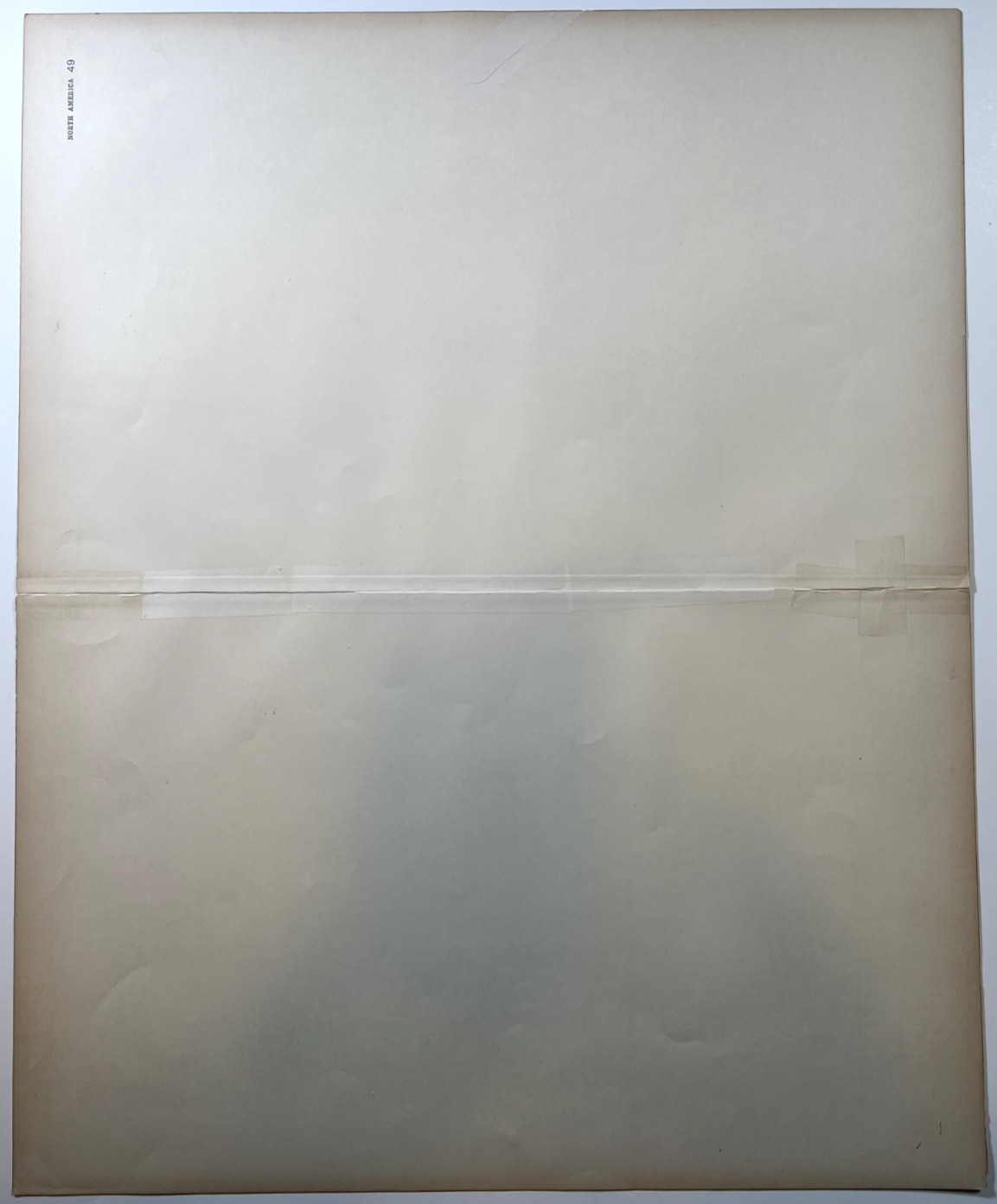
This map is in good vintage condition, some minor repairs have been made on the reverse side of map to enhance durability. There is also a noticeable crease where the map was removed from the original atlas. See photos for condition.
If you have any questions or would like additional pictures please contact me, I am always happy to help. This sale is for the map only. Any props shown in photos are for illustrative purposes and are not included in the purchase.
About Me:
I have been an enthusiastic antique map collector for many years. I love the historical story and beautiful artwork each map displays. If you are looking for a different map, whether as an original or a reproduction, or this map in a different size, please contact me and I'll do my best to find that map and list it.
