-40%
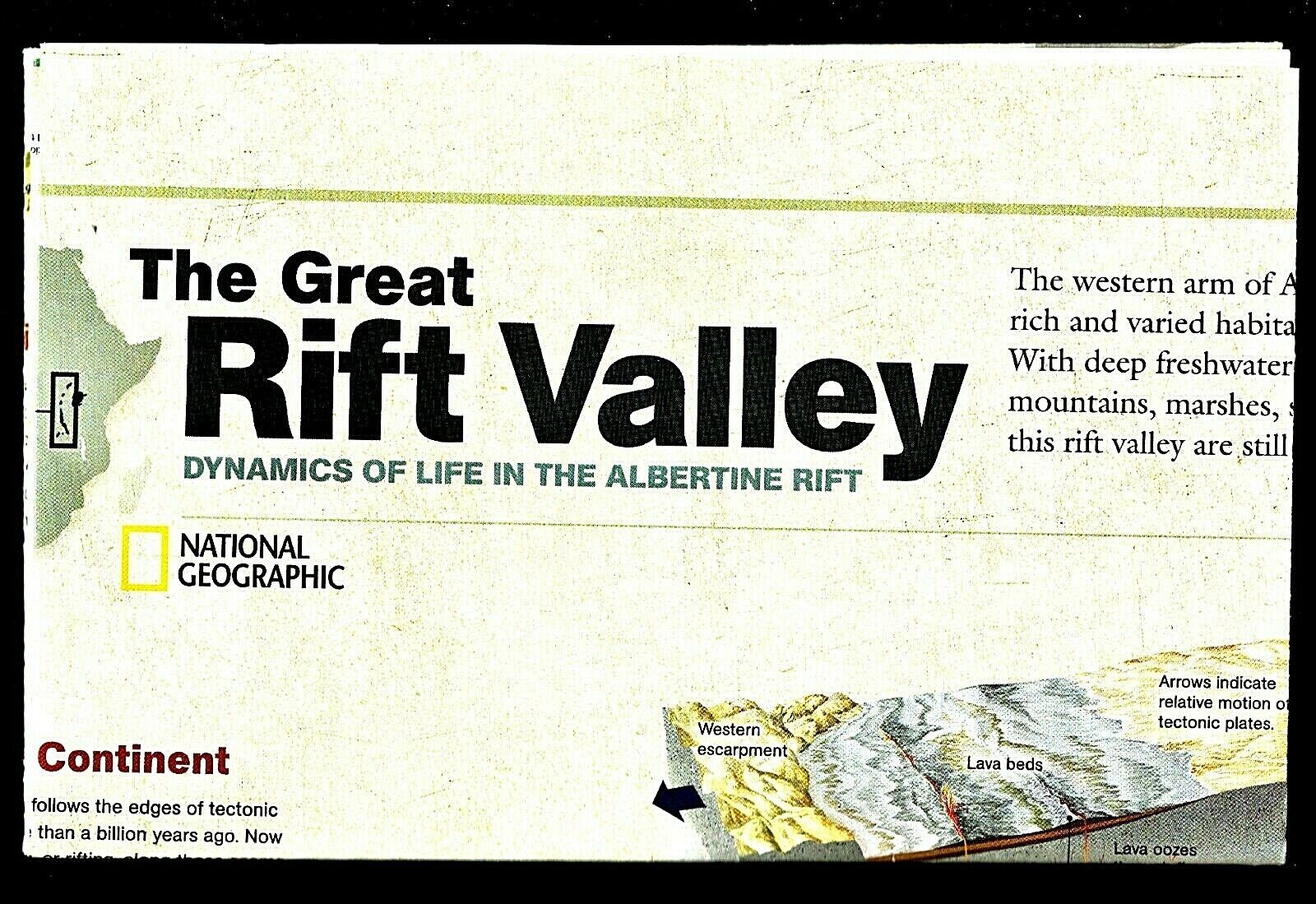
⫸ 2011-11 November AFRICA'S GREAT LAKES RIFT VALLEY National Geographic Map A1
$ 1.82
- Description
- Size Guide
Description
2011-11 November AFRICA'S GREAT LAKES RIFT VALLEY National Geographic MapThe western portion of Africa's Rift Valley, the 920 mile long Albertine Rift, possesses a wildlife diversity unparalleled on the continent. It also possesses freshwater lakes, mountains, and active volcanoes. Lastly, it sits along the seam of tectonic plates that merged more than a billion years ago; the plates now are separating and in 30 million more years, will partially split from the main continent. The art-side of this study is titled “The Great Rift Valley” and discusses the separation forces that created the valley. It also contains illustrations of the wildlife plus discussions of the ecosystems that exist in the valley. The reverse map-side titled “Africa's Great Lakes” contains a map of eastern Africa and a discussion of the various rifts and the lakes created by them.
Map is approximately 20” x 31”.
The National Geographic is known for it's fine maps & detailed information.
Supplement to the National Geographic Magazine; magazine is not included.
Always use your cart to when ordering more than one item!
