-40%
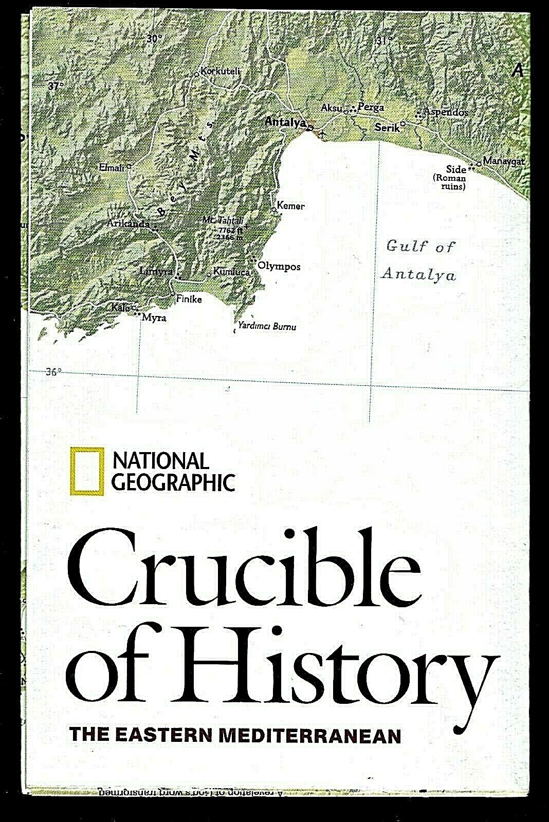
⫸ 2008-12 CRUCIBLE OF HISTORY Eastern MEDITERRANEAN JERUSALEM Geographic Map A1
$ 2.11
- Description
- Size Guide
Description
⫸2008-12 CRUCIBLE OF HISTORY Eastern MEDITERRANEAN JERUSALEM Geographic Map Poster
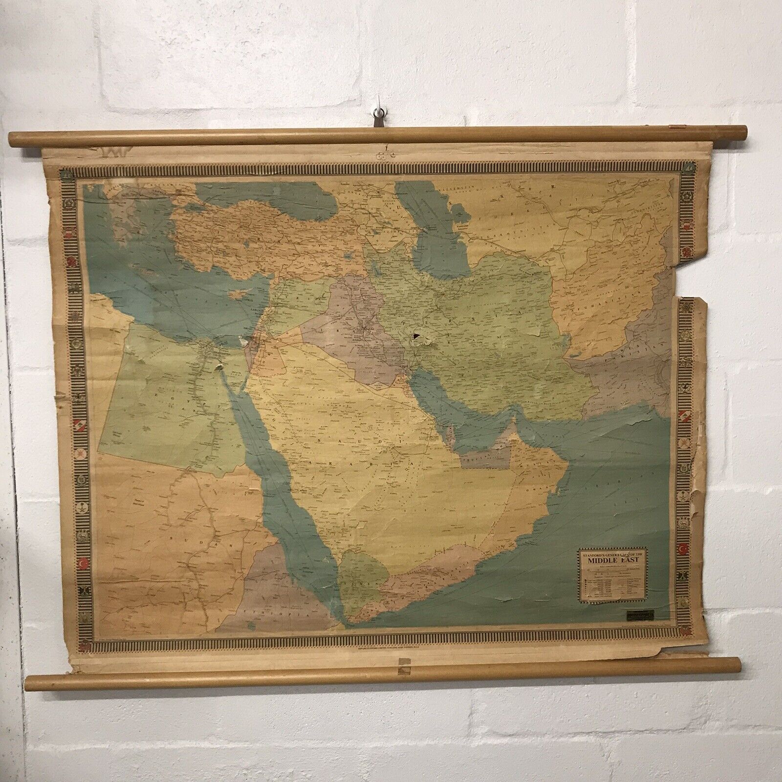
Few areas on Earth contain so much history as does that area between the Nile and the mountains in Turkey – from the early Egyptians to the Ottoman Empire. That history continued after WWI, when European colonial powers divided the lands of the Ottoman Empire, only to lose them to self-determination. Now those post-colonial societies are torn by conflicts over land, resources, religion, and political concepts. The map-side contains a classic National Geographic political map of the region, containing Turkey, Syria, Lebanon, Israel, Jordan, Saudi Arabia, and Egypt, color-coded according to the predominate land cover and showing population centers, archaeological sites, water holes, and oil fields. There is also a map inset showing travel paths of Abraham, Moses, Jesus, and Muhammad. The reverse-side is titled “Jerusalem's Holy Ground” and depicts Mount Moriah (Temple Mount) – holy ground to both Christians and Muslims – with both Herod's Temple and the Dome of the Rock, with detailed information about the structures. Along the side is a time-line of the history of the city and a small map inset of the city.
Map is approximately 20” x 31”.
The National Geographic is known for it's fine maps & detailed information.
Supplement to the National Geographic Magazine; magazine is not included.
Always use your cart when ordering more than one item!
